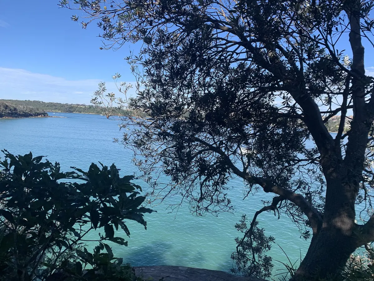
Sydney Harbour walks at a glance
The main harbour walks are short bush and foreshore tracks that you reach by ferry or bus. The longest is the Spit to Manly walk at about 10 km. The shortest is the 1 km South Head loop. Most of the national park routes are graded 3 on the park scale.
Two things decide your day: how you get to the start and how you get home. Ferries to Manly, Taronga Zoo and Watsons Bay make a one-way walk easy. Check the times for the return trip before you set off. If you would rather see the harbour from the water first, look at the Sydney Harbour cruises page.
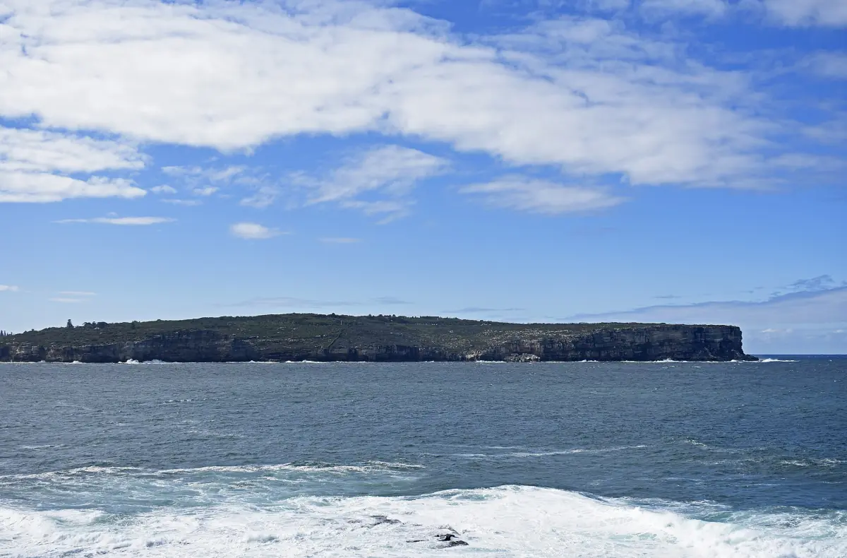
Harbour walks compared
Distances and times for each route. Your pace will differ.
| Walk | Distance | Time | Grade |
|---|---|---|---|
| Spit Bridge to Manly | About 10 km each way | 3 to 4.5 hours | – |
| Hermitage Foreshore track | 1.8 km one way | 30 to 60 minutes | 3 |
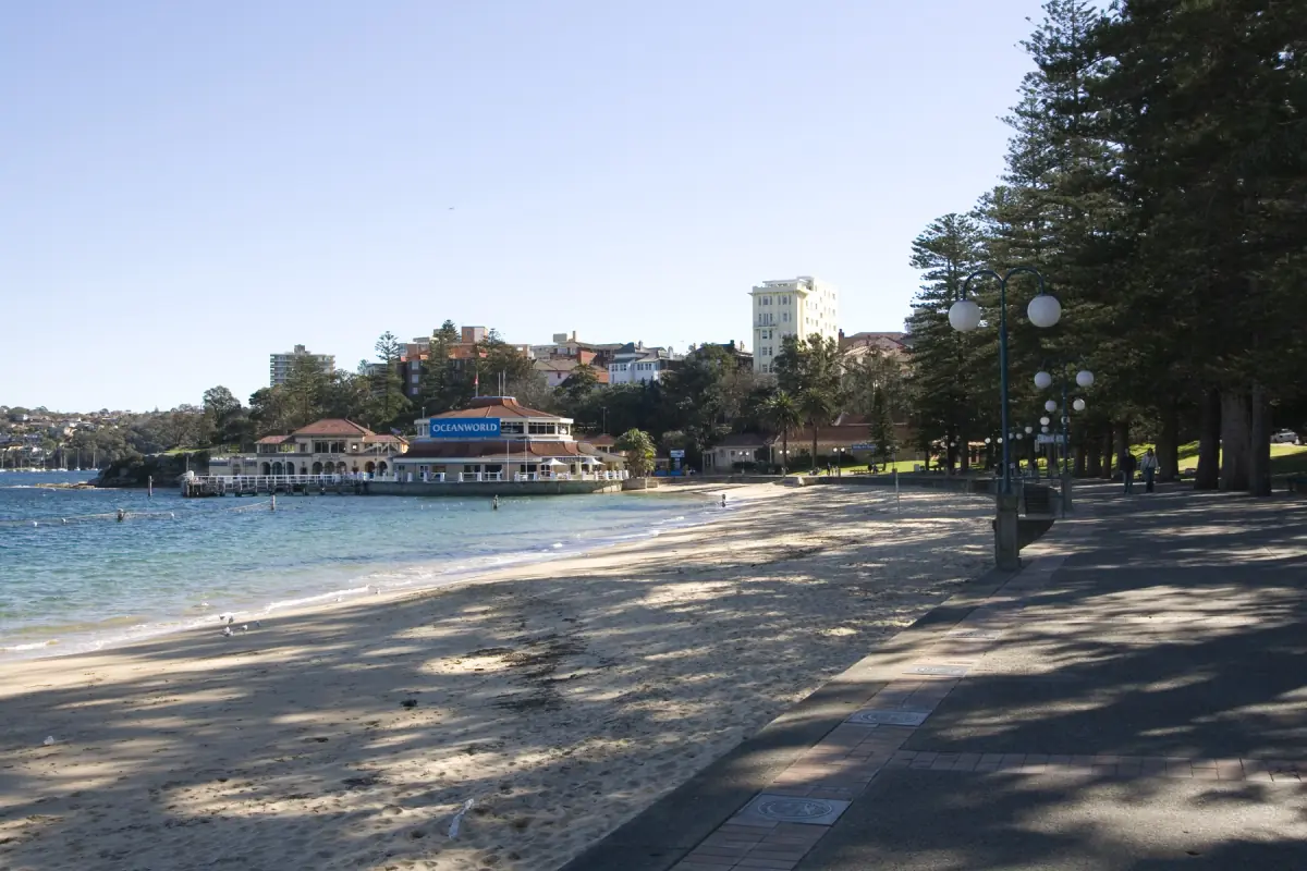
| Bradleys Head to Chowder Bay | 4 km one way | 1.5 to 2.5 hours | 3 |
| South Head Heritage trail | 1 km loop | 30 to 60 minutes | 3 |
For most first-time visitors, the Bradleys Head to Chowder Bay walk gives the best mix of harbour views and time: it starts at the Taronga Zoo wharf and fits half a day. Strong walkers with a full day should choose Spit Bridge to Manly and take the ferry back.
Our pick: The Rocks with a guide
Our take: a short guided walk is a good start before the longer harbour walks.
Hand-picked tours, booked through Viator. Prices are indicative starting prices in Australian dollars (as of October 2026). Tap a tour for live availability and the current price in your currency.

Sydney Harbour tours and day trips
Cruises, kayak trips and bridge tours, with live prices and availability.
The routes in detail
What to expect on each one.
Spit Bridge to Manly
This is the long walk, about 10 km in each direction. Allow 3 to 4.5 hours, and plan for the longer end if you stop for photos. The track passes protected natural and heritage sites. Dogs are not allowed in the national park, and there is a separate route for dogs. Finish in Manly and take the ferry back to Circular Quay.
Manly guide →Hermitage Foreshore track
A 1.8 km track between Bayview Hill Road and Nielsen Park, graded 3, with views across to Shark Island. Allow 30 to 60 minutes one way, and more if you add a swim at the end.
Harbour beaches →Bradleys Head to Chowder Bay
The route starts at the Taronga Zoo wharf, goes around Bradleys Head and ends at Chowder Bay. It is 4 km one way and takes 1.5 to 2.5 hours. If you drive, vehicle access to Bradleys Head is open from 06:00 to 20:00 and costs A$8 per day (2026). Parking at Chowder Bay is run separately: A$3 per hour on weekdays, capped at A$16 per day, and A$4 per hour on Saturdays, Sundays and public holidays, capped at A$20 per day. A national parks pass does not cover it automatically.
Ferries to Taronga Zoo →South Head Heritage trail
A 1 km loop of 30 to 60 minutes, graded 3, that runs past Camp Cove and Lady Bay towards Hornby Lighthouse. You see historic gun positions and views over the harbour and the ocean. The walk from the Watsons Bay wharf to the start comes on top. Gap Park is a separate clifftop park on Old South Head Road and not part of this loop.
Watsons Bay guide →Harbour Bridge footway
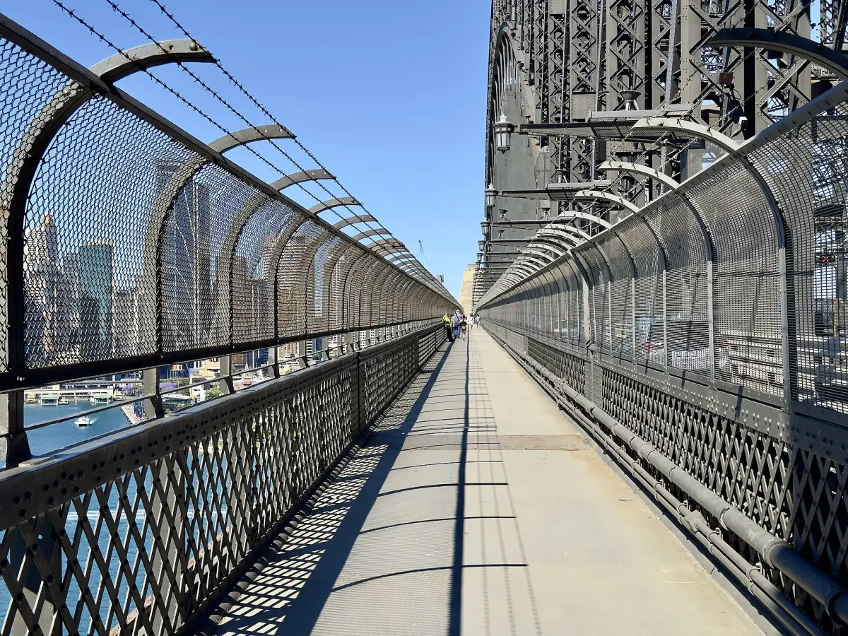
The public footway on the east side is free. You reach it south of Cumberland Street, or from Milsons Point and Kirribilli in the north, and there are lifts and stairs at both ends. Cyclists use the west side, and a ramp from Bradfield Park at Milsons Point has been open since 6 January 2026.
Harbour Bridge guide →North Head and Gap Park
Two clifftop stops for views and, in season, whales.
North Head has lookouts at Burragula and along the Fairfax walk. The vehicle fee is A$5 per day (2026). The gate is open from 06:00 to 20:30 during daylight saving time and from 06:00 to 18:00 the rest of the year, so do not plan a late return by car.
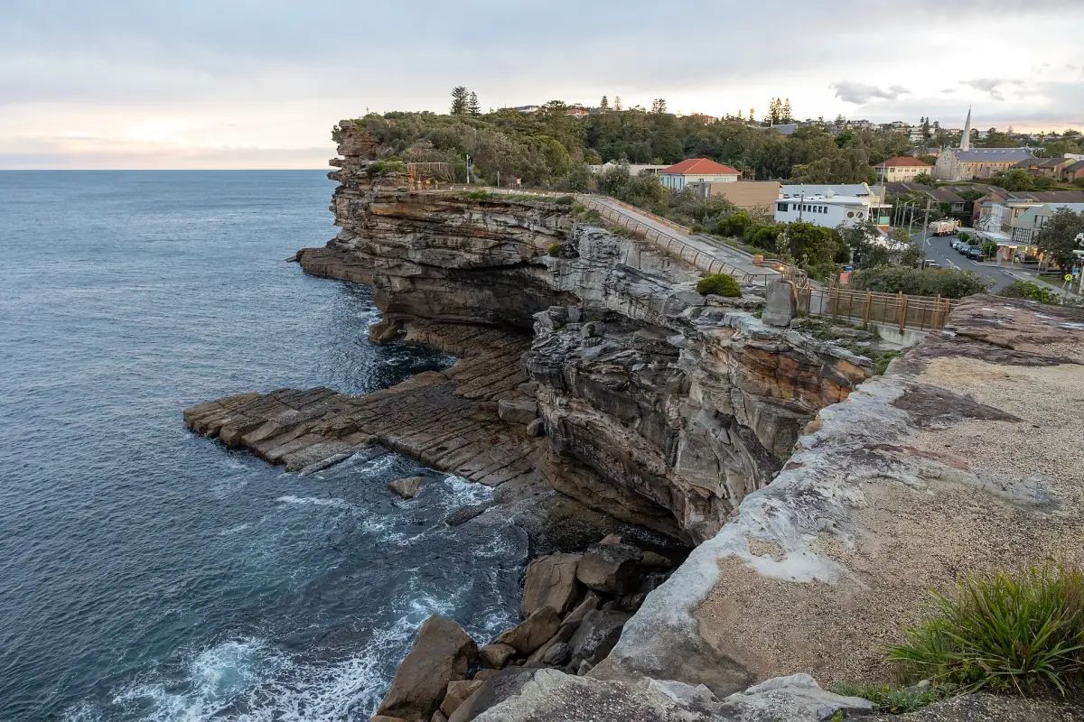
Gap Park sits on the cliffs of Watsons Bay. Buses and ferries stop nearby, street parking is limited, camping is not allowed and dogs are not permitted. An old tramway track links Military Road and Old South Head Road. Whales pass along this coast from May to November, and the whale watching guide explains the season.
Before you walk
Practical points for all routes.
Opening and closures
National park tracks are generally open from sunrise to sunset. Bad weather and fire danger can close them. Specific gates, such as North Head and Bradleys Head, have their own hours. Check the park alerts on the day.
Fares for the return trip
On Fridays to Sundays and public holidays, adult Opal fares cap at A$9.65 per day (2026). Pay with an Opal card, a contactless card or a phone wallet, and use the same card or device for related trips.
Ferries and Opal →Time of year
Spring and autumn suit long walks because the temperature is lower. Summer is warmer and a good time for a swim at the end of the route.
Best time to visit →Access
Do not assume that every route is suitable for pushchairs or wheelchairs. Steps and uneven ground are common, and parts of a route can be closed at short notice.
Starting from Circular Quay? The Rocks and the Royal Botanic Garden next door are covered in our guide to the Royal Botanic Garden.
Plan the rest of your trip
Places on and near the walks.
Sydney Harbour walks: frequently asked questions
What is the best harbour walk in Sydney?
It depends on your time. The Bradleys Head to Chowder Bay walk takes 1.5 to 2.5 hours and starts at a ferry wharf. The Spit Bridge to Manly walk takes most of a day. The Hermitage Foreshore track and the South Head loop are short.
How long does the Spit to Manly walk take?
The route is about 10 km each way. Times range from 3 to 4.5 hours. Plan for the upper end and allow time for the ferry home.
Can I bring a dog?
Not in the national park. The Spit to Manly route has a separate dog route, and Gap Park does not allow dogs either.
Is the Harbour Bridge walk free?
Yes, the public footway on the east side is free. The BridgeMuseum in the pylon and the BridgeClimb are paid and separate.
Is this the official site for Sydney Harbour walks?
No. This is an independent guide. It is not run by or connected to any national park, council, transport authority or tour operator.